No.6
21 March 2018

Environmental research: Innovative 3-dimentional aerial drone photography based river management system
Satoshi Kubota
Associate Professor, Faculty of Environmental and Urban Engineering
Artificial structures on river banks such as levees and river walls are constructed as preventive measures against flooding. Rain and running water slowly erode these structures, with the need for periodic maintenance. In Japan, current methods of maintenance include on-site inspection, followed by assessment reports that contain photographs of damage and erosion. However, this method is not only obsolete but also highly labour intensive.
Satoshi Kubota and colleagues at Kansai University in Japan, worked with civil engineers and found that a major challenge faced with two-dimensional photography is effectively comparing current deterioration with that captured in previous photographs. To solve this problem, they proposed a method that would use three-dimensional data of structures instead. They selected a light and durable manually operated drone and mounted a camera onto it. This device was capable of measurements of a large range and was tested along the Kashiigawa river in Osaka Prefecture. Videos of several sites along the river were taken, and subsequently transformed into three-dimensional images and stored.
Notably, this device can generate three-dimensional data over the life cycle of a river, which can be stored in a database. The important feature of this system is its ability to pull out data at any given point in time and space, while also providing comparisons of deformations at different times by overlaying images. By making data more accessible and easy to configure, maintenance of river facilities could be expedited. The researchers plan to evaluate this system in real maintenance work.
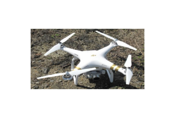
Fig.1 Prototype of the drone used for the research
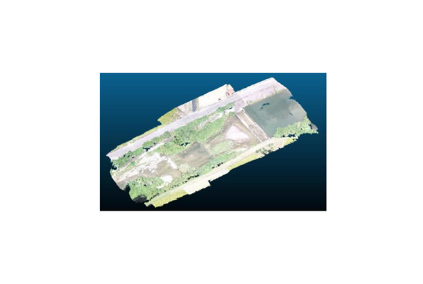
Fig.2 Three-dimensional data of the Kashiigawa River
Reference
S. Kubota et al. "River maintenance management system using three-dimensional UAV data in Japan." ISPRS Annals of the Photogrammetry, published online October, 2016.
DOI: 10.5194/isprs-annals-IV-2-W1-93-2016